Fail:World location map (W3).svg

Size of this PNG preview of this SVG file: 800 × 489 pixels. Other resolutions: 320 × 196 pixels | 640 × 391 pixels | 1,024 × 626 pixels | 1,280 × 782 pixels | 2,560 × 1,564 pixels | 3,188 × 1,948 pixels.
Bikpela piksa (SVG file, nominally 3,188 × 1,948 pixels, file size: 5.14 MB)
Liklik toksave bilong senis
| Description |
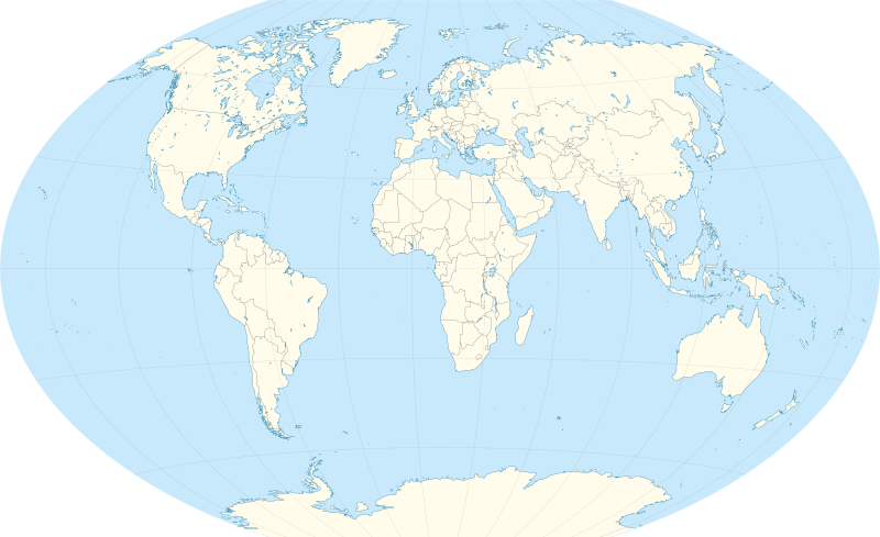
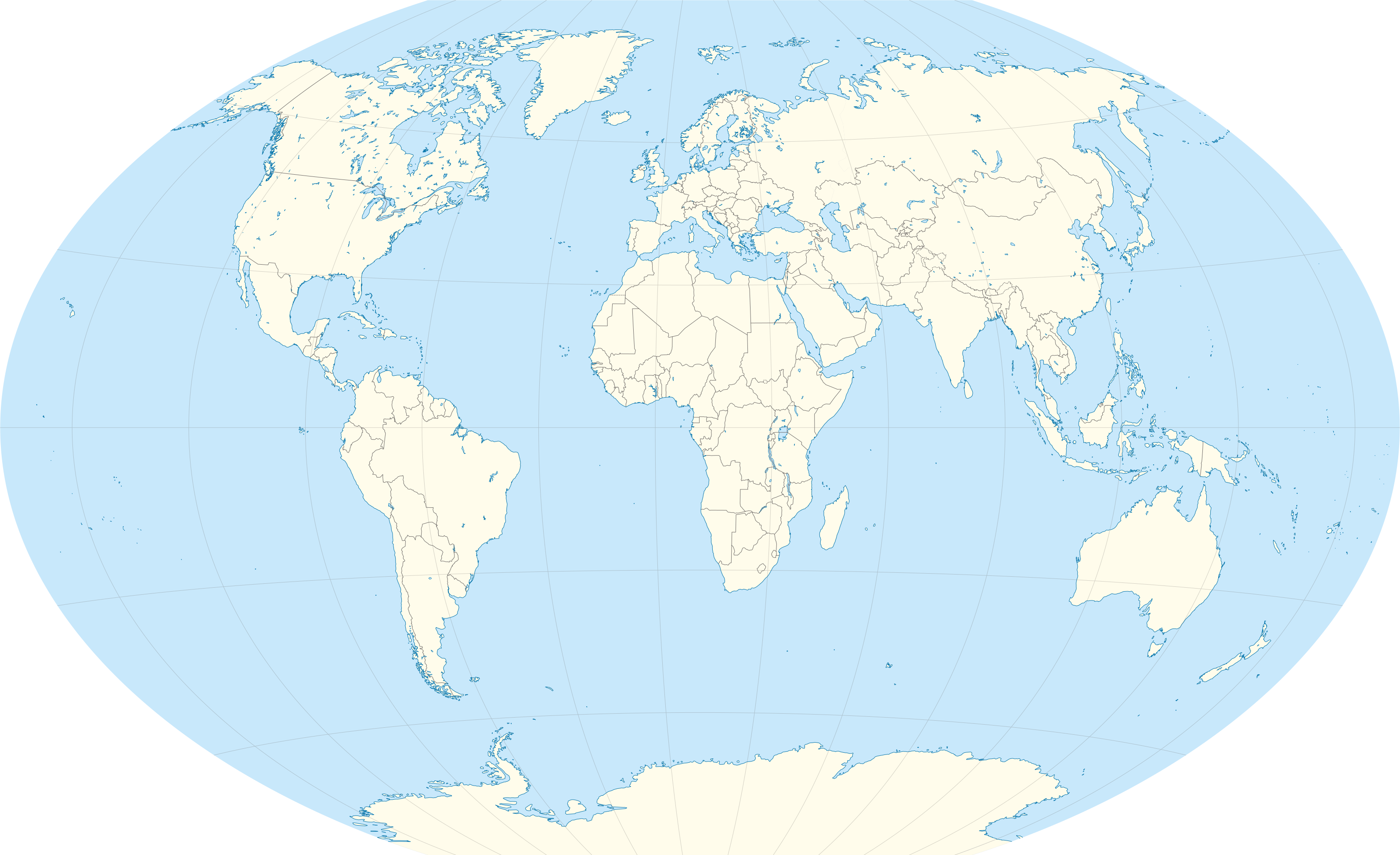
Deutsch: Positionskarte der Welt. Winkel III Projektion mit Zentralmeridian 11°30' Ost und Standardparallele bei 50°28'
English: Location map of the world. Winkel III proection centered 11°30' East and standard parallels at 50°28' |
| Date | |
| Source |
Own work • Made with Natural Earth. Free vector and raster map data @ naturalearthdata.com • (Credits to Alexrk2 who helped me plotting natural earth data) |
| Author |
TUBS |
| Other versions |
|
| SVG genesis |
.svg)
.svg)
.svg)
.svg)
.svg)
Laisens
I, the copyright holder of this work, hereby publish it under the following licenses:
This file is licensed under the Creative Commons Attribution-Share Alike 3.0 Unported license.
- You are free:
- to share – to copy, distribute and transmit the work
- to remix – to adapt the work
- Under the following conditions:
- attribution – You must give appropriate credit, provide a link to the license, and indicate if changes were made. You may do so in any reasonable manner, but not in any way that suggests the licensor endorses you or your use.
- share alike – If you remix, transform, or build upon the material, you must distribute your contributions under the same or compatible license as the original.

|
Permission is granted to copy, distribute and/or modify this document under the terms of the GNU Free Documentation License, Version 1.2 or any later version published by the Free Software Foundation; with no Invariant Sections, no Front-Cover Texts, and no Back-Cover Texts. A copy of the license is included in the section entitled GNU Free Documentation License. |
You may select the license of your choice.

|
I'd greatly appreciate, that you attribute this media file to Wikimedia Commons, if used outside Wikipedia or Commons. For use in publications such as books, newspapers, blogs, websites, please insert here the following line:
|
.svg&action=edit&redlink=1)
Ol senis bilong dispela fail
Click on a date/time to view the file as it appeared at that time.
| De/Taim | Liklik | Ol sais | Yusa | Tingting | |
|---|---|---|---|---|---|
| bilong nau | 12:40, 2 Oktoba 2012 | | 3,188 × 1,948 (5.14 MB) | Palosirkka | Reverted to version as of 09:29, 2 July 2012 Location maps must remain very accurate |
| 13:04, 12 Septemba 2012 |  | 3,188 × 1,949 (4.02 MB) | Palosirkka | Scrubbed with http://codedread.com/scour/ | |
| 09:29, 2 Julai 2012 |  | 3,188 × 1,948 (5.14 MB) | TUBS | ||
| 12:13, 4 Me 2011 |  | 3,188 × 1,948 (8.55 MB) | TUBS | {{Information |Description={{de|Positionskarte der Welt. Winkel III Projektion mit Zentralmeridian bei 11° Ost.}} {{en|Location map of the world. Winkel III proection centered at 11° East.}} |Source={{own}}{{Adobe Illustrator} |
Ol fail link
There are no pages that use this file.
Global file usage
The following other wikis use this file:
- Usage on de.wikipedia.org
- München
- Schweizer Schulen im Ausland
- Wikipedia:Kartenwerkstatt/Positionskarten/Andere
- Vorlage:Positionskarte Welt (W3)
- Benutzer:Antemister/Weltkarten
- Wikipedia:Kartenwerkstatt/Archiv/2012-08
- World Series of Darts 2016
- World Series of Darts 2013
- World Series of Darts 2014
- World Series of Darts 2015
- World Series of Darts 2017
- World Series of Darts 2018
- World Series of Darts 2019
- Michel Roggo
- World Series of Darts 2020
- World Series of Darts 2021
- World Series of Darts 2022
- World Series of Darts 2023
- World Series of Darts 2024
- Usage on en.wikipedia.org
- Usage on eo.wikipedia.org
- Usage on es.wikipedia.org
- Usage on nl.wikipedia.org
- Neolithische revolutie
- Namoluk
- Lijst van afleveringen van Checkpoint
- Waar is De Mol?
- Bestemming Onbekend (televisieprogramma)
- Sjabloon:Positiekaart Wereld
- Lijst van seizoenen van Wie is de Mol?
- Reizen Waes
- Floortje naar het einde van de wereld
- Red Bull Air Race World Series seizoen 2016
- Lijst van seizoenen van De Mol
- Red Bull Air Race World Series seizoen 2017
- Erica op Reis
- Gebruiker:Rkoster/Landen/Kaart
- Gebruiker:Benedict Wydooghe/Evoluties in het welzijns- en veiligheidsdenken deel2
- Enkeltje Verweggistan
- Queen Mary's Peak
- Mont Ross
- Lijst van Formule 1 Grand Prix-overwinningen door Max Verstappen
- Usage on zh.wikipedia.org
.svg)